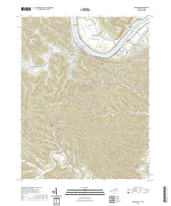
2022 Map of Vanceburg
USGS Topo · Published 2022About this map
Vanceburg and the winding course of the Ohio River dominate this modern topographic view of Lewis County. The settlement pattern follows the fertile river bottoms and narrow creek valleys, with Sandy Springs and Rockville situated on the northern bank across from Buena Vista. Inland, the terrain is defined by deep hollows and ridges, such as Alum Rock Ridge and Griffin Hollow, which dictate the paths of local roads like Slate Hollow Rd. For family historians, the map accurately positions several local burial sites, including Sandy Springs Cem, Evans Cem, and Adams Cem. The transition from the riverside lowlands of Kennedys Bottom to the upland reaches near Kinniconick illustrates the enduring geographical constraints on Kentucky's Ohio River borderlands, where the Ohio Kentucky rail line continues to trace the river's edge.
Find a feature on this map
117 named features on this map. Tap any name to fly to it.
Don’t see what you’re looking for? This feature index may not catch every label — zoom into the map to look around manually.
Map Details
Editions of this 2022 Vanceburg Map
This is the sole edition of this map. No revisions or reprints were ever made.
Other maps of this area

1915 · Garrison
USGS Topo · 1:62,500

1918 · Garrison
USGS Topo · 1:62,500

1919 · Vanceburg
USGS Topo · 1:62,500

1949 · Pond Run
USGS Topo · 1:24,000

1949 · Vanceburg
USGS Topo · 1:62,500

1949 · Garrison
USGS Topo · 1:24,000

1949 · Buena Vista
USGS Topo · 1:24,000

1949 · Vanceburg
USGS Topo · 1:24,000

1949 · Concord
USGS Topo · 1:24,000

1949 · Charters
USGS Topo · 1:24,000