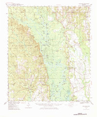
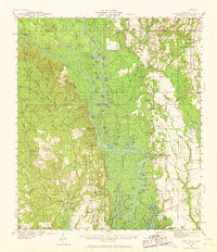
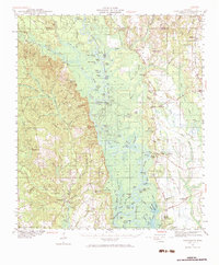
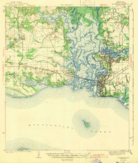
1941 Map of Vancleave
USGS Topo · Published 1984About this map
The Pascagoula River creates a complex network of bayous, lakes, and cutoffs across this early 1940s landscape, dictating the settlement patterns of Jackson County. Near the western bluff, Vancleave serves as a central hub, while smaller riverside landings like Graham Ferry, Dees Landing, and Potieau Landing reflect a time when water access remained vital for local commerce. To the east, the Mississippi Export railroad provides a corridor for industry near Harleston and Wade, linking the timber-rich interior to coastal markets.
Find a feature on this map
142 named features on this map. Tap any name to fly to it.
Don’t see what you’re looking for? This feature index may not catch every label — zoom into the map to look around manually.
Map Details
Editions of this 1941 Vancleave Map
4 editions found
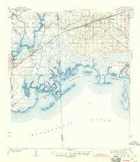
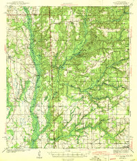
Other maps of this area
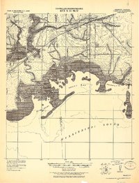
1921 · Grand Bay
USGS Topo · 1:62,500

1941 · Hurley
USGS Topo · 1:62,500

1941 · Vancleave
USGS Topo · 1:62,500

1941 · Lucedale
USGS Topo · 1:62,500

1942 · Wilmer
USGS Topo · 1:62,500
1943 · Pascagoula
USGS Topo · 1:62,500

1943 · Lucedale
USGS Topo · 1:62,500
1943 · Grand Bay
USGS Topo · 1:62,500
1943 · Hurley
USGS Topo · 1:62,500

1943 · Vancleave
USGS Topo · 1:62,500