
1957 Map of Vander
USGS Topo · Published 1960About this map
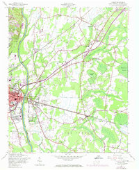
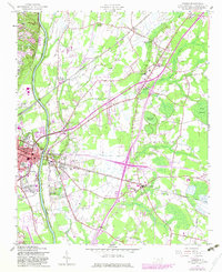
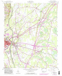
The Cape Fear River forms a dominant western border for this landscape, carving through the terrain alongside the sprawling eastern reaches of Fayetteville. This mid-century survey captures the area's transition from river-bound agriculture to suburban growth, evidenced by the clustered residential development at Williams Village and East Fayetteville. Transportation corridors define the interior, where the Atlantic Coast Line railroad and the Fayetteville Road intersect, linking outlying communities like Vander and Beard to the urban core.
Find a feature on this map
48 named features on this map. Tap any name to fly to it.
Don’t see what you’re looking for? This feature index may not catch every label — zoom into the map to look around manually.
Map Details
Editions of this 1957 Vander Map
4 editions found
Other maps of this area

1948 · Fayetteville
USGS Topo · 1:62,500

1948 · Slocomb
USGS Topo · 1:24,000

1949 · Vander
USGS Topo · 1:24,000

1950 · Fayetteville
USGS Topo · 1:24,000

1950 · Manchester
USGS Topo · 1:24,000

1950 · Slocomb
USGS Topo · 1:24,000

1953 · Florence
USGS Topo · 1:250,000

1953 · Raleigh
USGS Topo · 1:250,000

1954 · Florence
USGS Topo · 1:250,000

1954 · Raleigh
USGS Topo · 1:250,000