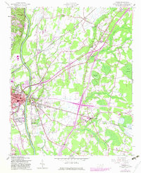
1957 Map of Vander
USGS Topo · Published 1983About this map
The Cape Fear River and the Seaboard Coast Line Railroad define the industrial and agricultural corridors of eastern Cumberland County in the mid-20th century. The settlement of Vander serves as a central point for a landscape dotted with numerous small congregations, including Gardiner Chapel, Salem Ch, and St Pauls Ch. This area reflects the expansion of suburban and industrial activity east of the Fayetteville corporate boundary, where newer developments like Williams Village and East Fayetteville began to fill the spaces between traditional farming communities.
Find a feature on this map
44 named features on this map. Tap any name to fly to it.
Don’t see what you’re looking for? This feature index may not catch every label — zoom into the map to look around manually.
Map Details
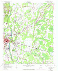
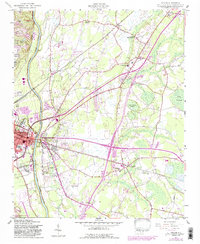
Editions of this 1957 Vander Map
4 editions found

Other maps of this area

1948 · Fayetteville
USGS Topo · 1:62,500

1948 · Slocomb
USGS Topo · 1:24,000

1949 · Vander
USGS Topo · 1:24,000

1950 · Fayetteville
USGS Topo · 1:24,000

1950 · Manchester
USGS Topo · 1:24,000

1950 · Slocomb
USGS Topo · 1:24,000

1953 · Florence
USGS Topo · 1:250,000

1953 · Raleigh
USGS Topo · 1:250,000

1954 · Florence
USGS Topo · 1:250,000

1954 · Raleigh
USGS Topo · 1:250,000