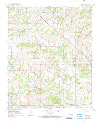
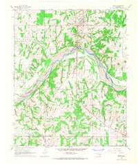
1967 Map of Vanoss
USGS Topo · Published 1990About this map
Oil Center and the Oil and Gas Field operations define the landscape of northwestern Pontotoc County in the late 1960s. The region is marked by a network of energy infrastructure, with numerous Oil Wells and pipelines threading between small rural communities. The map captures established local hubs like Vanoss, Pickett, and Center, while also recording the locations of spiritual and communal centers such as Freewill Baptist Ch and the Church of God.
Find a feature on this map
29 named features on this map. Tap any name to fly to it.
Don’t see what you’re looking for? This feature index may not catch every label — zoom into the map to look around manually.
Map Details
Editions of this 1967 Vanoss Map
2 editions found
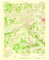
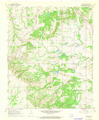
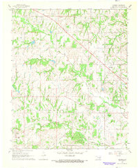
Other maps of this area

1901 · Stonewall
USGS Topo · 1:125,000

1957 · Ardmore
USGS Topo · 1:250,000
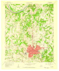
1958 · Ada
USGS Topo · 1:24,000
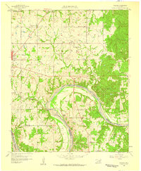
1958 · Vamoosa
USGS Topo · 1:24,000
1958 · Konawa
USGS Topo · 1:24,000

1963 · Ardmore
USGS Topo · 1:250,000
1966 · Asher
USGS Topo · 1:24,000
1967 · Ahloso
USGS Topo · 1:24,000
1967 · Vanoss
USGS Topo · 1:24,000
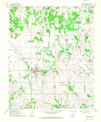
1967 · Stratford
USGS Topo · 1:24,000