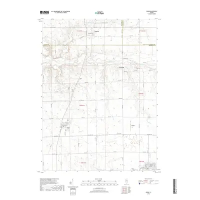
2018 Map of Varna
USGS Topo · Published 2018About this map
Varna stands at the center of this rural landscape, where the convergence of several township lines and regional roads marks a long-standing agricultural hub. The map detail highlights the village's street grid, including North St and Adams St, while also identifying several smaller outlying settlements like Magnolia, Porterfield, and Custer. This area is particularly significant for its concentration of historic burial grounds, preserving the local genealogy through sites such as Magnolia Cems, Roberts Cem, and Statler Cem.
Find a feature on this map
61 named features on this map. Tap any name to fly to it.
Don’t see what you’re looking for? This feature index may not catch every label — zoom into the map to look around manually.
Map Details
Editions of this 2018 Varna Map
This is the sole edition of this map. No revisions or reprints were ever made.
Other maps of this area

1893 · Lacon
USGS Topo · 1:62,500

1893 · Metamora
USGS Topo · 1:62,500

1933 · Lacon
USGS Topo · 1:62,500

1934 · Wenona
USGS Topo · 1:48,000

1937 · Metamora
USGS Topo · 1:62,500

1937 · Lacon
USGS Topo · 1:62,500

1939 · Wenona
USGS Topo · 1:62,500

1948 · Metamora
USGS Topo · 1:62,500

1955 · Minonk
USGS Topo · 1:62,500

1958 · Aurora
USGS Topo · 1:250,000