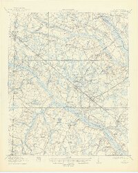
1918 Map of Varnville
USGS Topo · Published 1945About this map
The Coosawhatchie River and its complex network of swampy tributaries define this South Carolina landscape during the early twentieth century. Rural life is anchored by a dense distribution of community institutions, including Prince Williams Church, Bethlehem Church, and numerous specialized schoolhouses like Sandy Run School and Millville School. The regional economy relies heavily on timber and agricultural processing, evidenced by Jenny and Platts Sawmill, Harrison Sawmill, and Speaks Mill.
Find a feature on this map
78 named features on this map. Tap any name to fly to it.
Don’t see what you’re looking for? This feature index may not catch every label — zoom into the map to look around manually.
Map Details
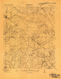
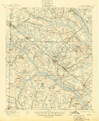
Editions of this 1918 Varnville Map
4 editions found
Other maps of this area

1918 · Varnville
USGS Topo · 1:62,500

1918 · Yemassee
USGS Topo · 1:62,500

1919 · Pineland
USGS Topo · 1:62,500

1919 · Olar
USGS Topo · 1:62,500

1919 · Shirley
USGS Topo · 1:62,500

1919 · Allendale
USGS Topo · 1:62,500

1919 · Cummings
USGS Topo · 1:62,500

1919 · Lodge
USGS Topo · 1:62,500

1920 · Lodge
USGS Topo · 1:48,000

1920 · Peeples
USGS Topo · 1:62,500