2023 Map of Vassar
USGS Topo · Published 2023About this map
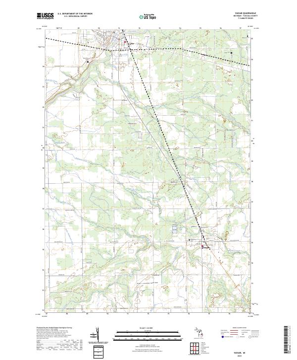
The Cass River winds through the northern portion of this landscape, defining the layout of Vassar, where streets like E Huron Ave and W Saginaw Rd bridge the waterway. This contemporary survey shows the Tuscola County agricultural and residential pattern established over generations, marked by a dense network of drainage systems like Spears Drain and Brainard Drain that support the surrounding farmlands. To the south, the settlement of Millington sits near the intersection of Millington Rd and Caine Rd, serving as a local hub near Millington Creek.
Find a feature on this map
83 named features on this map. Tap any name to fly to it.
Don’t see what you’re looking for? This feature index may not catch every label — zoom into the map to look around manually.
Map Details
Editions of this 2023 Vassar Map
This is the sole edition of this map. No revisions or reprints were ever made.