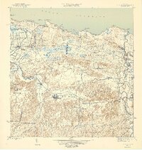
1946 Map of Vega Alta
USGS Topo · Published 1946About this map
Sugar production and rail transit define this coastal landscape on the northern shore of Puerto Rico during the mid-1940s. The massive Central Carmen and Central Constancia processing facilities serve as industrial anchors, connected by the American Railroad and specialized Porto Rico Sugar transport lines. These routes pass through the low-lying Sabana and Bajura districts, where coastal wetlands meet the fertile agricultural plains.
Find a feature on this map
70 named features on this map. Tap any name to fly to it.
Don’t see what you’re looking for? This feature index may not catch every label — zoom into the map to look around manually.
Map Details
Editions of this 1946 Vega Alta Map
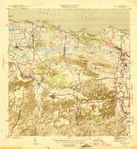
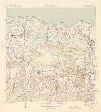
4 editions found
Other maps of this area

1940 · Vega Alta
USGS Topo · 1:30,000

1941 · Bayamon
USGS Topo · 1:30,000

1942 · Manati
USGS Topo · 1:30,000

1946 · Corozal
USGS Topo · 1:30,000

1946 · Ciales
USGS Topo · 1:30,000

1946 · Vega Alta
USGS Topo · 1:30,000

1946 · Naranjito
USGS Topo · 1:30,000

1946 · Manati
USGS Topo · 1:30,000

1947 · Corozal NO
USGS Topo · 1:10,000
1947 · Corozal NE
USGS Topo · 1:10,000