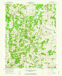
1961 Map of Velpen
USGS Topo · Published 1962About this map
The Patoka River snakes through the borderlands of Pike and Dubois counties, anchoring a rural Indiana landscape of timbered ridges and coal exploration. The settlement of Velpen serves as a local hub along the Southern railroad line, while smaller communities like Pikeville, Duff, and Zoar are connected by winding township roads and State Road 64. The topography is notably marked by family and community history, with several burial grounds including Walnut Grove Cemetery, Stillwell Cem, and Mayo Cem distributed throughout the wooded sections of Lockhart and Patoka townships.
Find a feature on this map
37 named features on this map. Tap any name to fly to it.
Don’t see what you’re looking for? This feature index may not catch every label — zoom into the map to look around manually.
Map Details
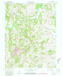
Editions of this 1961 Velpen Map
2 editions found
Other maps of this area

1900 · St Meinrad
USGS Topo · 1:62,500

1900 · De Gonia Springs
USGS Topo · 1:62,500

1902 · Ditney
USGS Topo · 1:125,000

1902 · Degonia Springs
USGS Topo · 1:62,500

1903 · St. Meinrad
USGS Topo · 1:62,500

1903 · Velpen
USGS Topo · 1:62,500

1946 · Jasper
USGS Topo · 1:24,000

1954 · Huntingburg
USGS Topo · 1:24,000

1956 · Vincennes
USGS Topo · 1:250,000

1957 · Vincennes
USGS Topo · 1:250,000