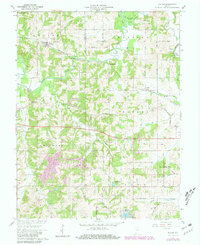
1961 Map of Velpen
USGS Topo · Published 1981About this map
The Patoka River meanders across the northern portion of this 1961 survey, shaping a landscape of broad floodplains like the Big Bottom and narrow winding valleys. The village of Velpen serves as a primary hub along the Southern railroad line, which cuts through the timbered hills of Pike County State Forest. Further east, the small settlement of Duff sits along the same tracks, while southern communities like Holland and Zoar are situated near the headwaters of Cup Creek and Sugar Creek.
Find a feature on this map
37 named features on this map. Tap any name to fly to it.
Don’t see what you’re looking for? This feature index may not catch every label — zoom into the map to look around manually.
Map Details
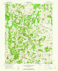
Editions of this 1961 Velpen Map
2 editions found
Other maps of this area

1900 · St Meinrad
USGS Topo · 1:62,500

1900 · De Gonia Springs
USGS Topo · 1:62,500

1902 · Ditney
USGS Topo · 1:125,000

1902 · Degonia Springs
USGS Topo · 1:62,500

1903 · St. Meinrad
USGS Topo · 1:62,500

1903 · Velpen
USGS Topo · 1:62,500

1946 · Jasper
USGS Topo · 1:24,000

1954 · Huntingburg
USGS Topo · 1:24,000

1956 · Vincennes
USGS Topo · 1:250,000

1957 · Vincennes
USGS Topo · 1:250,000