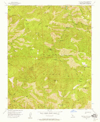
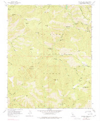
1956 Map of Ventana Cones
USGS Topo · Published 1958About this map
Los Padres National Forest contains a complex network of trails and primitive camps as recorded in the mid-1950s. The landscape is defined by the headwaters of the Carmel River and Big Sur River, with numerous tributaries such as Danish Creek and Rattlesnake Creek carving through the high ridges. Remote outposts like Hiding Canyon Camp and Sulphur Springs Camp provided shelter for those navigating the Carmel River Trail and Ventana Trail. Prominent peaks, including Ventana Double Cone and Uncle Sam Mtn, served as critical surveying points and landmarks for forest travel.
Find a feature on this map
53 named features on this map. Tap any name to fly to it.
Don’t see what you’re looking for? This feature index may not catch every label — zoom into the map to look around manually.
Map Details
Editions of this 1956 Ventana Cones Map
5 editions found
Other maps of this area

1918 · Point Sur
USGS Topo · 1:62,500

1920 · Jamesburg
USGS Topo · 1:48,000

1921 · Jamesburg
USGS Topo · 1:62,500

1921 · Lucia
USGS Topo · 1:62,500

1925 · Point Sur
USGS Topo · 1:62,500

1939 · Jamesburg
USGS Topo · 1:62,500

1940 · Jamesburg
USGS Topo · 1:62,500

1941 · Lucia
USGS Topo · 1:62,500

1947 · Lucia
USGS Topo · 1:62,500

1947 · Jamesburg
USGS Topo · 1:62,500