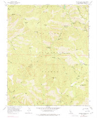
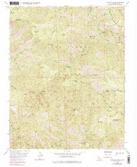
1956 Map of Ventana Cones
USGS Topo · Published 1977About this map
Ventana Double Cone and South Ventana Cone dominate this high-elevation interior of the Los Padres National Forest, where the headwaters of several major California coastal rivers originate. During the mid-1950s, this area remained largely inaccessible by road, defined instead by a network of footpaths like the Pine Ridge Trail and Ventana Trail. These routes connected a series of primitive backcountry sites, including Pat Springs Camp, Bear Basin Camp, and the Pine Falls Campground along the Pine Valley Creek.
Find a feature on this map
60 named features on this map. Tap any name to fly to it.
Don’t see what you’re looking for? This feature index may not catch every label — zoom into the map to look around manually.
Map Details
Editions of this 1956 Ventana Cones Map
5 editions found
Other maps of this area

1918 · Point Sur
USGS Topo · 1:62,500

1920 · Jamesburg
USGS Topo · 1:48,000

1921 · Jamesburg
USGS Topo · 1:62,500

1921 · Lucia
USGS Topo · 1:62,500

1925 · Point Sur
USGS Topo · 1:62,500

1939 · Jamesburg
USGS Topo · 1:62,500

1940 · Jamesburg
USGS Topo · 1:62,500

1941 · Lucia
USGS Topo · 1:62,500

1947 · Lucia
USGS Topo · 1:62,500

1947 · Jamesburg
USGS Topo · 1:62,500