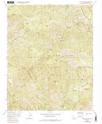
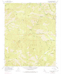
1956 Map of Ventana Cones
USGS Topo · Published 1977About this map
Los Padres National Forest contains a network of backcountry trails and primitive camps as recorded in this mid-century survey. The landscape is defined by the sharp elevations of Ventana Double Cone and Uncle Sam Mtn, where lookouts once monitored the surrounding timber and watersheds. Remote campsites like Sulphur Springs Camp and Pat Springs Camp are linked by the Rattlesnake Trail and Ventana Trail, showing the established recreational infrastructure of the area before modern wilderness designations changed the management of these lands.
Find a feature on this map
49 named features on this map. Tap any name to fly to it.
Don’t see what you’re looking for? This feature index may not catch every label — zoom into the map to look around manually.
Map Details
Editions of this 1956 Ventana Cones Map
5 editions found
Other maps of this area

1918 · Point Sur
USGS Topo · 1:62,500

1920 · Jamesburg
USGS Topo · 1:48,000

1921 · Jamesburg
USGS Topo · 1:62,500

1921 · Lucia
USGS Topo · 1:62,500

1925 · Point Sur
USGS Topo · 1:62,500

1939 · Jamesburg
USGS Topo · 1:62,500

1940 · Jamesburg
USGS Topo · 1:62,500

1941 · Lucia
USGS Topo · 1:62,500

1947 · Lucia
USGS Topo · 1:62,500

1947 · Jamesburg
USGS Topo · 1:62,500