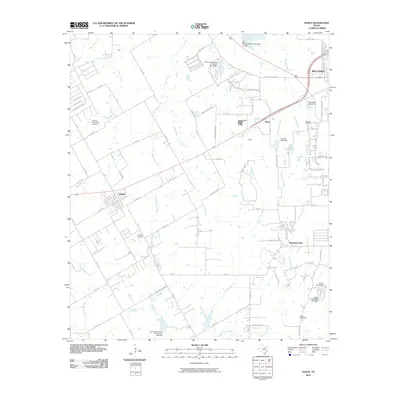
2010 Map of Venus
USGS Topo · Published 2010About this map
Newton Cemetery sits on the eastern edge of this landscape, marking a legacy of local family history near the growing outskirts of Midlothian. The 2010 terrain is defined by a sophisticated network of water management, evidenced by numerous structures such as the Soil Conservation Service Site 9 Dam, Soil Conservation Service Site 10 Dam, and Cement Plant Dam. This engineering reflects the region's adaptation to the prairie environment, where creeks like Mountain Creek and Armstrong Creek have been harnessed for industry and conservation.
Find a feature on this map
65 named features on this map. Tap any name to fly to it.
Don’t see what you’re looking for? This feature index may not catch every label — zoom into the map to look around manually.
Map Details
Editions of this 2010 Venus Map
This is the sole edition of this map. No revisions or reprints were ever made.
Other maps of this area

1891 · Dallas
USGS Topo · 1:125,000

1891 · Cleburne
USGS Topo · 1:125,000

1893 · Dallas
USGS Topo · 1:125,000

1894 · Cleburne
USGS Topo · 1:125,000

1894 · Fort Worth
USGS Topo · 1:125,000

1954 · Dallas
USGS Topo · 1:250,000

1958 · Dallas
USGS Topo · 1:250,000

1959 · Cedar Hill
USGS Topo · 1:24,000

1959 · Britton
USGS Topo · 1:24,000

1959 · Mansfield
USGS Topo · 1:24,000