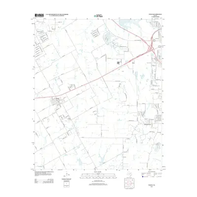
2012 Map of Venus
USGS Topo · Published 2012About this map
Venus serves as the primary hub in this portion of North Texas, where the local road network fans out into the surrounding agricultural and residential landscape. Small-scale aviation is represented by the Venus Airport, located south of the main town site. To the southeast, the terrain transitions into more recreational and institutional uses at Camp Hoblitzelle and its adjacent Camp Hoblitzelle Lake, which sits near the headwaters of E Fork Chambers Cr. Numerous seasonal and permanent waterways, including Mountain Cr, Soap Cr, and Cottonwood Cr, drain the region, influencing the placement of early settlements and roads. The small community of Mountain Peak and the Newton Cem provide important reference points for genealogists and local historians tracing the development of this area between Dallas and Cleburne.
Find a feature on this map
144 named features on this map. Tap any name to fly to it.
Don’t see what you’re looking for? This feature index may not catch every label — zoom into the map to look around manually.
Map Details
Editions of this 2012 Venus Map
This is the sole edition of this map. No revisions or reprints were ever made.
Other maps of this area

1891 · Dallas
USGS Topo · 1:125,000

1891 · Cleburne
USGS Topo · 1:125,000

1893 · Dallas
USGS Topo · 1:125,000

1894 · Cleburne
USGS Topo · 1:125,000

1894 · Fort Worth
USGS Topo · 1:125,000

1954 · Dallas
USGS Topo · 1:250,000

1958 · Dallas
USGS Topo · 1:250,000

1959 · Cedar Hill
USGS Topo · 1:24,000

1959 · Britton
USGS Topo · 1:24,000

1959 · Mansfield
USGS Topo · 1:24,000