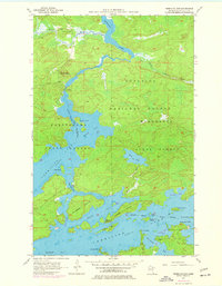
1956 Map of Vermilion Dam
USGS Topo · Published 1977About this map
Vermilion Lake dominates this northern Minnesota landscape, where a complex network of bays, narrows, and islands defines the topography. The 1956 survey, updated with 1969 aerial revisions, details a wilderness region transitioning into a recreational and resource management area. The Vermilion Dam Club and the Vermilion Dam Lookout Tower stand as prominent human landmarks amidst the dense timber of the Superior National Forest and Kabetogama State Forest. Small settlements and seasonal points like Moccasin Point are connected by light-duty and unimproved roads, highlighting the area's relative isolation.
Find a feature on this map
45 named features on this map. Tap any name to fly to it.
Don’t see what you’re looking for? This feature index may not catch every label — zoom into the map to look around manually.
Map Details
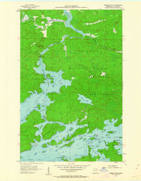
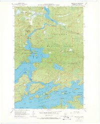
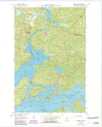
Editions of this 1956 Vermilion Dam Map
5 editions found
Other maps of this area

1954 · Hibbing
USGS Topo · 1:250,000

1954 · International Falls
USGS Topo · 1:250,000

1956 · Sioux Pine Island
USGS Topo · 1:24,000

1956 · Tower
USGS Topo · 1:24,000

1956 · Vermilion Dam
USGS Topo · 1:24,000

1956 · Lost Lake
USGS Topo · 1:24,000

1957 · Hibbing
USGS Topo · 1:250,000

1957 · International Falls
USGS Topo · 1:250,000

1958 · International Falls
USGS Topo · 1:250,000

1958 · Hibbing
USGS Topo · 1:250,000