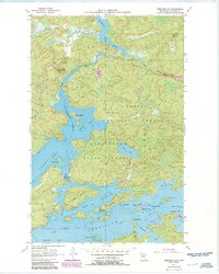
1956 Map of Vermilion Dam
USGS Topo · Published 1986About this map
Vermilion Lake and its intricate northern shorelines are the centerpiece of this mid-century survey, showing the complex web of bays and islands that define this portion of St. Louis County. The landscape is heavily managed for conservation and resource use, with the Superior National Forest, Sturgeon River State Forest, and Greenwood State Forest overlapping in this region. Infrastructure for water management and forest safety is prominent, specifically the Vermilion Dam Lookout Tower and the Gaging Station Vermilion Dam at the head of the Vermilion River. Boaters and outdoorsmen can trace narrow passages such as Oak Narrows and Birch Narrows that connect larger basins like Smart Bay and Wolf Bay. The map also captures recreation sites like the Hinsdale Island Campground and a Boat Ramp at Oak Island, illustrating the area's development as a destination for wilderness access.
Find a feature on this map
39 named features on this map. Tap any name to fly to it.
Don’t see what you’re looking for? This feature index may not catch every label — zoom into the map to look around manually.
Map Details
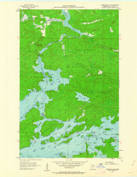
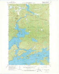
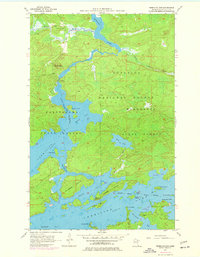
Editions of this 1956 Vermilion Dam Map
5 editions found
Other maps of this area

1954 · Hibbing
USGS Topo · 1:250,000

1954 · International Falls
USGS Topo · 1:250,000

1956 · Sioux Pine Island
USGS Topo · 1:24,000

1956 · Tower
USGS Topo · 1:24,000

1956 · Vermilion Dam
USGS Topo · 1:24,000

1956 · Lost Lake
USGS Topo · 1:24,000

1957 · Hibbing
USGS Topo · 1:250,000

1957 · International Falls
USGS Topo · 1:250,000

1958 · International Falls
USGS Topo · 1:250,000

1958 · Hibbing
USGS Topo · 1:250,000