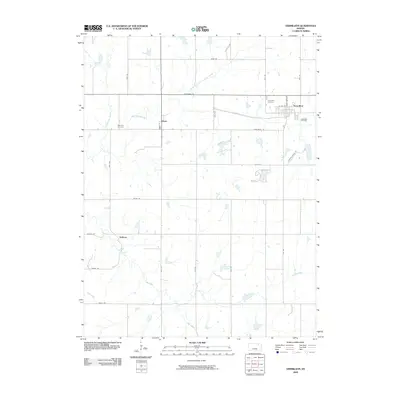
2009 Map of Vermillion
USGS Topo · Published 2009About this map
Vermillion and Vliets occupy the northern reaches of this Marshall County landscape, where the Black Vermillion River and its North Fork define the local drainage pattern. The settlement at Vermillion is situated along the river's path, near the Vermillion Cemetery, while the small community of Vliets lies to the west. Further south, the rural character of the area is emphasized by dispersed landmarks like Sullivan and the Morrison Cemetery near Ackerman Creek. A network of section-line roads, including Tumbleweed Rd and Valley Rd, connects these remote outposts across a terrain shaped by the winding courses of Irish Creek, Cedar Creek, and the Kearney Branch. This geographic record captures the enduring agricultural layout and quiet river-valley settlements typical of the Kansas prairie in the early 21st century.
Find a feature on this map
21 named features on this map. Tap any name to fly to it.
Don’t see what you’re looking for? This feature index may not catch every label — zoom into the map to look around manually.
Map Details
Editions of this 2009 Vermillion Map
This is the sole edition of this map. No revisions or reprints were ever made.
Other maps of this area

1889 · Seneca
USGS Topo · 1:125,000

1894 · Seneca
USGS Topo · 1:125,000

1955 · Manhattan
USGS Topo · 1:250,000

1956 · Manhattan
USGS Topo · 1:250,000

1957 · Manhattan
USGS Topo · 1:250,000

1966 · Baileyville
USGS Topo · 1:24,000

1966 · Axtell
USGS Topo · 1:24,000
1966 · Beattie
USGS Topo · 1:24,000
1969 · Centralia
USGS Topo · 1:24,000
1969 · Frankfort
USGS Topo · 1:24,000