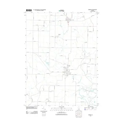
2012 Map of Vermont
USGS Topo · Published 2012About this map
Vermont serves as the central hub of this agricultural region in western Illinois, where the grid of rural roads meets the winding courses of Sugar Cr and Otter Cr. The village is surrounded by a high density of small family and community burial grounds, such as Union Chapel Cem and Laurel Hill Cem, which suggest a long history of local settlement and genealogical depth. Modern developments like the Richmond Airport and Vermont New Lake sit alongside older landmarks, including Foster Point Cem and Miles Cem. The drainage patterns of Wolfden Br and Francis Cr define the landscape, illustrating how the region's topography influenced the placement of early homesteads and the eventual established township road network.
Find a feature on this map
102 named features on this map. Tap any name to fly to it.
Don’t see what you’re looking for? This feature index may not catch every label — zoom into the map to look around manually.
Map Details
Editions of this 2012 Vermont Map
This is the sole edition of this map. No revisions or reprints were ever made.
Other maps of this area

1912 · Macomb
USGS Topo · 1:62,500

1914 · Macomb
USGS Topo · 1:62,500

1918 · Vermont
USGS Topo · 1:62,500

1921 · Vermont
USGS Topo · 1:62,500

1923 · Rushville
USGS Topo · 1:62,500

1926 · Beardstown
USGS Topo · 1:62,500

1926 · Rushville
USGS Topo · 1:62,500

1944 · Beardstown
USGS Topo · 1:62,500

1947 · Vermont
USGS Topo · 1:24,000

1947 · Adair
USGS Topo · 1:24,000