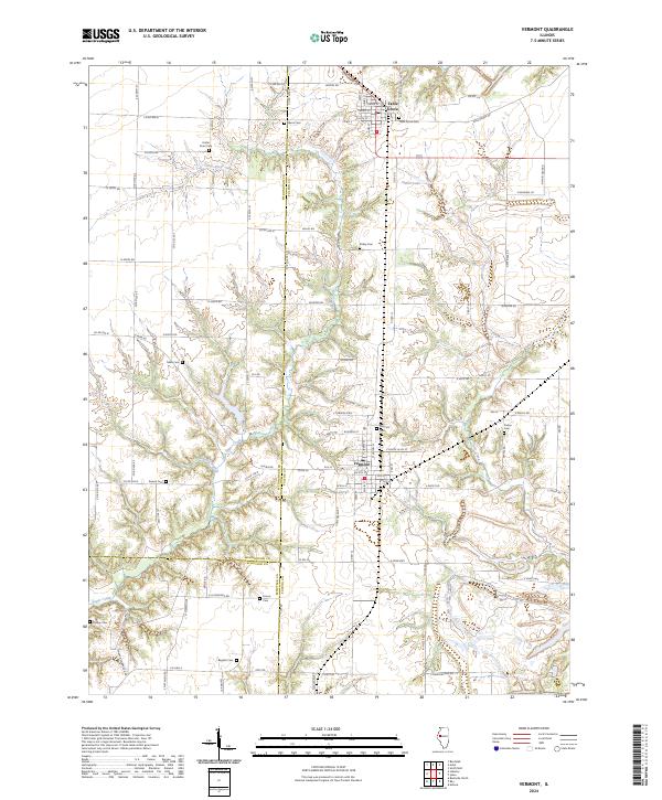
2024 Map of Vermont
USGS Topo · Published 2024About this map
The village of Vermont anchors this landscape in southwestern Fulton County, characterized by a grid of small-town streets and outlying farmsteads. To the north, the community of Table Grove sits at the intersection of Broadway St and Liberty St, serving as a secondary local hub. The map reveals a high density of rural cemeteries, including Foster Point Cem, Bailey Cem, and Harris Cem, many of which appear tied to early family landholdings and forgotten settlement nodes.
Find a feature on this map
60 named features on this map. Tap any name to fly to it.
Don’t see what you’re looking for? This feature index may not catch every label — zoom into the map to look around manually.
Map Details
Editions of this 2024 Vermont Map
This is the sole edition of this map. No revisions or reprints were ever made.
Other maps of this area

1912 · Macomb
USGS Topo · 1:62,500

1914 · Macomb
USGS Topo · 1:62,500

1918 · Vermont
USGS Topo · 1:62,500

1921 · Vermont
USGS Topo · 1:62,500

1923 · Rushville
USGS Topo · 1:62,500

1926 · Beardstown
USGS Topo · 1:62,500

1926 · Rushville
USGS Topo · 1:62,500

1944 · Beardstown
USGS Topo · 1:62,500

1947 · Vermont
USGS Topo · 1:24,000

1947 · Adair
USGS Topo · 1:24,000