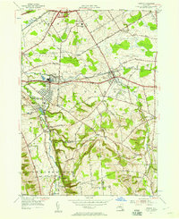
1955 Map of Vernon
USGS Topo · Published 1957About this map
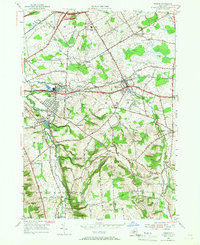
Oneida Creek carves the boundary between Oneida and Madison Counties, framing a mid-century landscape of agricultural hamlets and emerging infrastructure. This mid-1950s survey documents the corridor where the New York Central railroad and the Thruway cross the town of Vernon, illustrating the region's transition from 19th-century turnpike reliance to modern transit. The map records several small crossroads communities including Sconondoa, Five Chimneys Cor, and Valley Mills, while the presence of the VVS Central School and the Vernon Downs harness racing track signal the evolving social and commercial life of the era.
Find a feature on this map
56 named features on this map. Tap any name to fly to it.
Don’t see what you’re looking for? This feature index may not catch every label — zoom into the map to look around manually.
Map Details
Editions of this 1955 Vernon Map
2 editions found
Other maps of this area

1895 · Oriskany
USGS Topo · 1:62,500

1895 · Oneida
USGS Topo · 1:62,500

1898 · Oneida
USGS Topo · 1:62,500

1898 · Oriskany
USGS Topo · 1:62,500

1902 · Morrisville
USGS Topo · 1:62,500

1902 · Oneida
USGS Topo · 1:62,500

1907 · Sangerfield
USGS Topo · 1:62,500

1939 · Oneida
USGS Topo · 1:62,500

1943 · Morrisville
USGS Topo · 1:24,000

1943 · Sangerfield
USGS Topo · 1:62,500