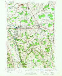
1955 Map of Vernon
USGS Topo · Published 1966About this map
The industrial and community heritage of the Oneida area is prominently displayed in this mid-century survey, centered on the city of Sherrill and the historic Kenwood district. The map documents the lasting presence of the Oneida Community through landmarks like the Oneida Community Cem and the Oneida Community Golf Course. Settlement patterns follow the winding path of Oneida Creek, which serves as the county boundary between Oneida and Madison Counties.
Find a feature on this map
66 named features on this map. Tap any name to fly to it.
Don’t see what you’re looking for? This feature index may not catch every label — zoom into the map to look around manually.
Map Details
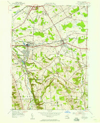
Editions of this 1955 Vernon Map
2 editions found
Other maps of this area

1895 · Oriskany
USGS Topo · 1:62,500

1895 · Oneida
USGS Topo · 1:62,500

1898 · Oneida
USGS Topo · 1:62,500

1898 · Oriskany
USGS Topo · 1:62,500

1902 · Morrisville
USGS Topo · 1:62,500

1902 · Oneida
USGS Topo · 1:62,500

1907 · Sangerfield
USGS Topo · 1:62,500

1939 · Oneida
USGS Topo · 1:62,500

1943 · Morrisville
USGS Topo · 1:24,000

1943 · Sangerfield
USGS Topo · 1:62,500