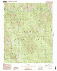
1987 Map of Verplank Ridge
USGS Topo · Published 1987About this map
The Kings River carves the northern boundary of this high-elevation landscape, where the Sierra National Forest meets the Sequoia National Forest. The map documents a rugged transition between several major ridgelines, including Verplank Ridge, Pine Ridge, and McKenzie Ridge. Evidence of forest management and fire observation is clear at the Delilah Lookout and various radio sites, while the presence of the Goodmill (Site) and Crabtree suggest historical activity centers within the timber.
Find a feature on this map
36 named features on this map. Tap any name to fly to it.
Don’t see what you’re looking for? This feature index may not catch every label — zoom into the map to look around manually.
Map Details
Editions of this 1987 Verplank Ridge Map
2 editions found
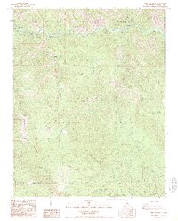
Other maps of this area

1903 · Tehipite
USGS Topo · 1:125,000

1905 · Tehipite
USGS Topo · 1:125,000

1922 · Trimmer
USGS Topo · 1:96,000

1924 · Dinuba
USGS Topo · 1:125,000

1942 · Dunlap
USGS Topo · 1:62,500

1944 · Dunlap
USGS Topo · 1:62,500

1948 · Fresno
USGS Topo · 1:250,000

1952 · Tehipite Dome
USGS Topo · 1:62,500

1952 · Patterson Mountain
USGS Topo · 1:62,500

1955 · Fresno
USGS Topo · 1:250,000