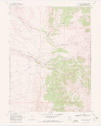
1969 Map of Vigus Butte NE
USGS Topo · Published 1981About this map
Silver Creek Ranch and Caton Ranch stand as focal points of activity in this high-desert landscape of Lander County. The presence of the Silver Creek School suggests a localized community tied to the seasonal livestock and ranching cycles of the late 1960s. The terrain is deeply incised by drainages like Bernd Canyon and Alex Canyon, which funnel runoff into the perennial Silver Creek.
Find a feature on this map
19 named features on this map. Tap any name to fly to it.
Don’t see what you’re looking for? This feature index may not catch every label — zoom into the map to look around manually.
Map Details
Editions of this 1969 Vigus Butte NE Map
2 editions found
Other maps of this area

1926 · Roberts Mountains
USGS Topo · 1:250,000

1929 · Roberts Mountains
USGS Topo · 1:250,000

1955 · Millett
USGS Topo · 1:250,000

1956 · Mount Callaghan
USGS Topo · 1:62,500

1956 · Hall Creek
USGS Topo · 1:62,500

1959 · Millett
USGS Topo · 1:250,000

1969 · Manhattan Mtn
USGS Topo · 1:24,000

1969 · Joe Eason Mtn
USGS Topo · 1:24,000

1969 · Yankee Blade
USGS Topo · 1:24,000

1969 · Vigus Butte NE
USGS Topo · 1:24,000