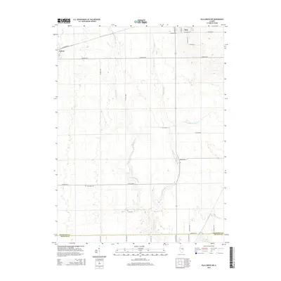
2015 Map of Villa Grove NW
USGS Topo · Published 2015About this map
The Embarras River and its numerous tributaries, including Black Slough and Jordan Slough, carve a winding path through the agricultural landscape of south-central Champaign County. This 2015 U.S. Geological Survey representation of the area between Tolono and Philo highlights a region defined by its drainage patterns and a strictly organized grid of county roads such as Co Road 700 N and Co Road 200 N.
Find a feature on this map
33 named features on this map. Tap any name to fly to it.
Don’t see what you’re looking for? This feature index may not catch every label — zoom into the map to look around manually.
Map Details
Editions of this 2015 Villa Grove NW Map
This is the sole edition of this map. No revisions or reprints were ever made.
Other maps of this area

1906 · Urbana
USGS Topo · 1:62,500

1907 · Mahomet
USGS Topo · 1:62,500

1950 · Tuscola
USGS Topo · 1:62,500

1956 · Villa Grove
USGS Topo · 1:62,500

1957 · Urbana
USGS Topo · 1:62,500

1957 · Urbana
USGS Topo · 1:24,000

1957 · Mahomet
USGS Topo · 1:62,500

1957 · Bondville
USGS Topo · 1:24,000

1958 · Peoria
USGS Topo · 1:250,000

1958 · Decatur
USGS Topo · 1:250,000