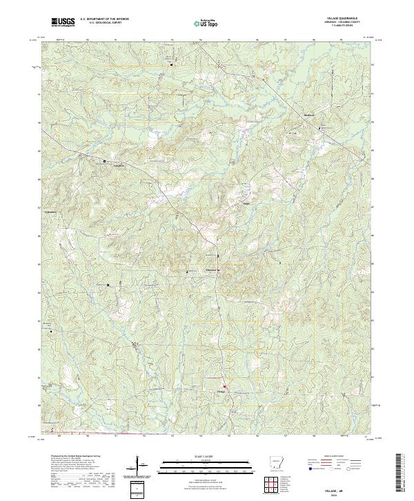
2024 Map of Village
USGS Topo · Published 2024About this map
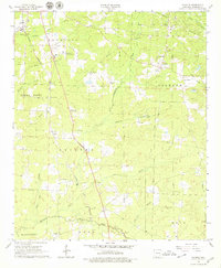
Village serves as the namesake hub of this Columbia County landscape, where small agricultural and rural residential patterns are defined by a dense network of country roads. The settlement of Ebenezer and the nearby Salem Baptist Church anchor the local community, which is dotted with numerous family and church burial grounds, including Macedonia Cem, Mount Prospect Cem, and Miller Cem. These sites, along with the Old Bethel - Saint John Cem, provide significant touchpoints for genealogical research in this part of southern Arkansas.
Find a feature on this map
72 named features on this map. Tap any name to fly to it.
Don’t see what you’re looking for? This feature index may not catch every label — zoom into the map to look around manually.
Map Details
Editions of this 2024 Village Map
This is the sole edition of this map. No revisions or reprints were ever made.
Historical Maps of Ebenezer Through Time
18 maps found
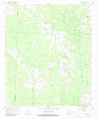
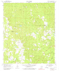
1960 Bussey
Columbia County, AR
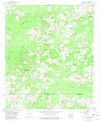
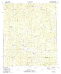
1960 Macedonia
Columbia County, AR
1960 Walkerville
Columbia County, AR
1966 Calhoun
Columbia County, AR
1966 Spotville
Columbia County, AR
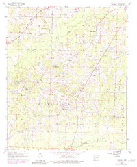
1966 Village
Columbia County, AR
1968 Lamartine
Columbia County, AR
1969 Magnolia NW
Columbia County, AR
1971 Emerson SE
Columbia County, AR
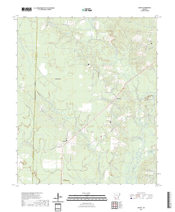
2024 Bussey
Columbia County, AR
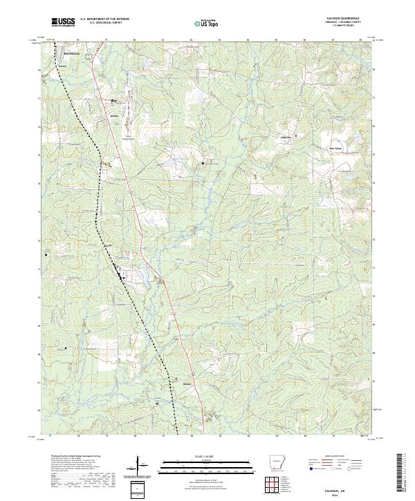
2024 Calhoun
Columbia County, AR
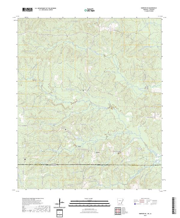
2024 Emerson SE
Columbia County, AR
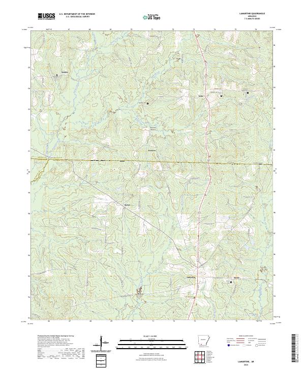
2024 Lamartine
Columbia County, AR
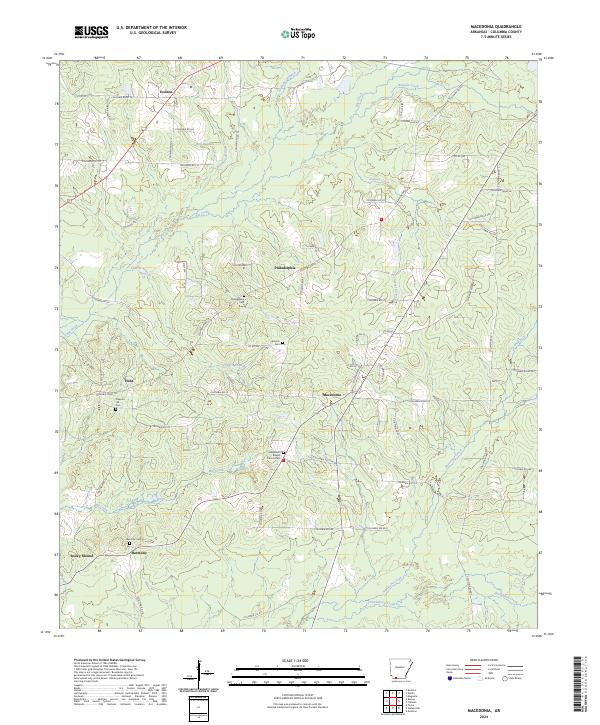
2024 Macedonia
Columbia County, AR
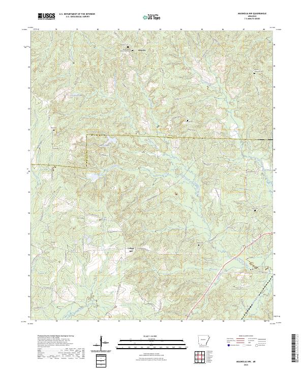
2024 Magnolia NW
Columbia County, AR
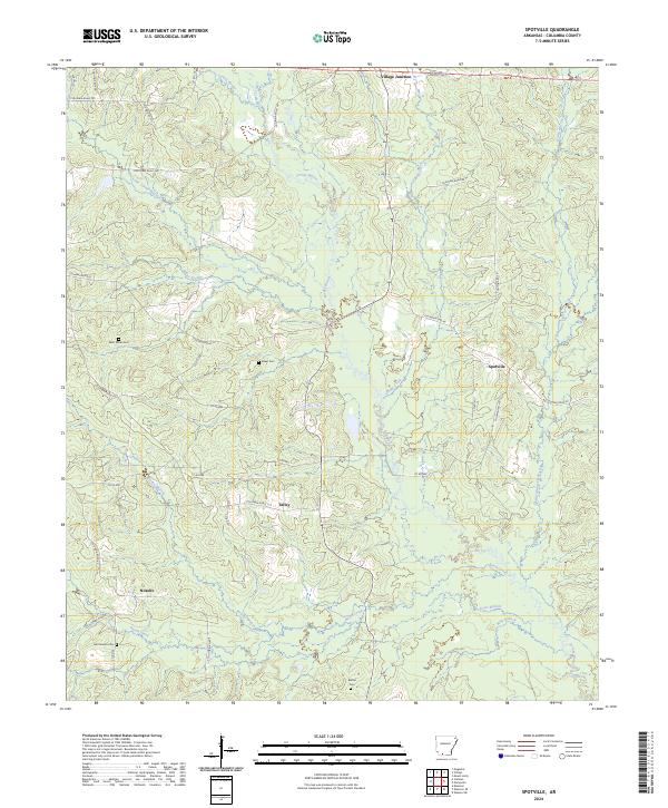
2024 Spotville
Columbia County, AR
2024 Village
Columbia County, AR
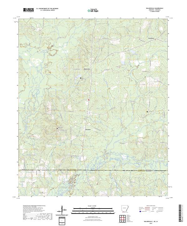
2024 Walkerville
Columbia County, AR