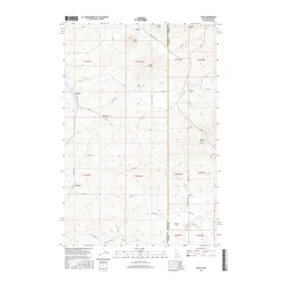
2017 Map of Viola
USGS Topo · Published 2017About this map
Viola sits at the eastern edge of the Palouse hills along the border of Washington and Idaho, serving as a central point for this agricultural landscape. The terrain is defined by a series of prominent elevations, including Angel Butte, Ringo Butte, and Parker Butte, which rise above the surrounding farmland and drain into watercourses like Fourmile Cr. Small named settlements such as Ringo, Fallon, and Madson reflect the dispersed rural community structure of Whitman and Latah Counties during this period.
Find a feature on this map
61 named features on this map. Tap any name to fly to it.
Don’t see what you’re looking for? This feature index may not catch every label — zoom into the map to look around manually.
Map Details
Editions of this 2017 Viola Map
This is the sole edition of this map. No revisions or reprints were ever made.
Other maps of this area

1910 · Pullman
USGS Topo · 1:125,000

1955 · Pullman
USGS Topo · 1:250,000

1958 · Pullman
USGS Topo · 1:250,000

1960 · Robinson Lake
USGS Topo · 1:24,000

1960 · Moscow East
USGS Topo · 1:24,000

1960 · Potlatch
USGS Topo · 1:62,500

1961 · Moscow
USGS Topo · 1:62,500

1964 · Viola
USGS Topo · 1:24,000

1964 · Elberton
USGS Topo · 1:24,000

1964 · Moscow West
USGS Topo · 1:24,000