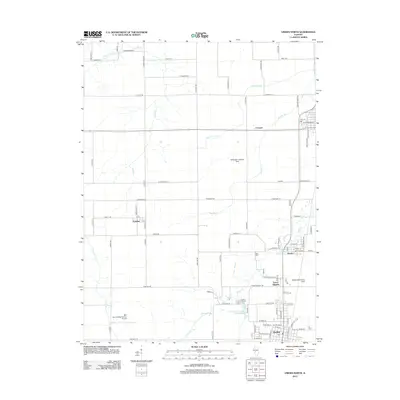
2012 Map of Virden North
USGS Topo · Published 2012About this map
The southern Sangamon County agricultural landscape is dominated by the intersecting paths of Sugar Cr, Panther Cr, and Little Panther Cr. The northern edge of Virden serves as the primary municipal center, where the street grid gives way to cemetery lands such as Virden City Cem and the waters of Virden Recreation Club Lake. To the north, Tower Heights and Thayer cluster along the transportation corridor, while the small settlement of Lowder sits further west near Lowder Rd.
Find a feature on this map
95 named features on this map. Tap any name to fly to it.
Don’t see what you’re looking for? This feature index may not catch every label — zoom into the map to look around manually.
Map Details
Editions of this 2012 Virden North Map
This is the sole edition of this map. No revisions or reprints were ever made.
Other maps of this area

1922 · Divernon
USGS Topo · 1:62,500

1923 · Carlinville
USGS Topo · 1:48,000

1923 · Raymond
USGS Topo · 1:62,500

1924 · Divernon
USGS Topo · 1:62,500

1924 · Waverly
USGS Topo · 1:62,500

1925 · Carlinville
USGS Topo · 1:62,500

1925 · Raymond
USGS Topo · 1:62,500

1926 · Waverly
USGS Topo · 1:62,500

1931 · Carlinville
USGS Topo · 1:62,500

1958 · Decatur
USGS Topo · 1:250,000