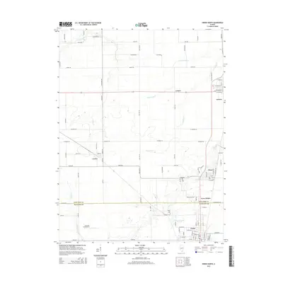
2015 Map of Virden North
USGS Topo · Published 2015About this map
Agricultural lands and several established communities define this section of the Illinois prairie along the boundary of Sangamon and Macoupin counties. The city of Auburn anchors the northeast, while Virden and its residential extension at Tower Heights sit to the south. Smaller hubs like Thayer and Lowder are connected by a precise grid of rural roads, including Lead Line Rd and Auburn Rd.
Find a feature on this map
65 named features on this map. Tap any name to fly to it.
Don’t see what you’re looking for? This feature index may not catch every label — zoom into the map to look around manually.
Map Details
Editions of this 2015 Virden North Map
This is the sole edition of this map. No revisions or reprints were ever made.
Other maps of this area

1922 · Divernon
USGS Topo · 1:62,500

1923 · Carlinville
USGS Topo · 1:48,000

1923 · Raymond
USGS Topo · 1:62,500

1924 · Divernon
USGS Topo · 1:62,500

1924 · Waverly
USGS Topo · 1:62,500

1925 · Carlinville
USGS Topo · 1:62,500

1925 · Raymond
USGS Topo · 1:62,500

1926 · Waverly
USGS Topo · 1:62,500

1931 · Carlinville
USGS Topo · 1:62,500

1958 · Decatur
USGS Topo · 1:250,000