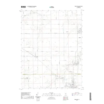
2021 Map of Virden North
USGS Topo · Published 2021About this map
Auburn and Virden anchor this corridor of the Illinois prairie as it appeared in the early 21st century. The map illustrates a landscape shaped by both systematic agriculture and local industry, marked by the Sangamon Co Macoupin Co line that bisects the southern half of the sheet. Smaller settlements like Thayer, Lowder, and Compro are interconnected by a dense grid of rural roads and state routes. Water features such as Panther Cr and Sugar Cr wind through the terrain, with the Sugar Creek Hills providing localized relief. Notable landmarks for local history include the Virden Cem, West Cem, and the Holzwarth Flying Service airfield located just north of the county line. The transition from the residential streets of the towns to the broad surrounding fields highlights the region's enduring agricultural character.
Find a feature on this map
84 named features on this map. Tap any name to fly to it.
Don’t see what you’re looking for? This feature index may not catch every label — zoom into the map to look around manually.
Map Details
Editions of this 2021 Virden North Map
This is the sole edition of this map. No revisions or reprints were ever made.
Other maps of this area

1922 · Divernon
USGS Topo · 1:62,500

1923 · Carlinville
USGS Topo · 1:48,000

1923 · Raymond
USGS Topo · 1:62,500

1924 · Divernon
USGS Topo · 1:62,500

1924 · Waverly
USGS Topo · 1:62,500

1925 · Carlinville
USGS Topo · 1:62,500

1925 · Raymond
USGS Topo · 1:62,500

1926 · Waverly
USGS Topo · 1:62,500

1931 · Carlinville
USGS Topo · 1:62,500

1958 · Decatur
USGS Topo · 1:250,000