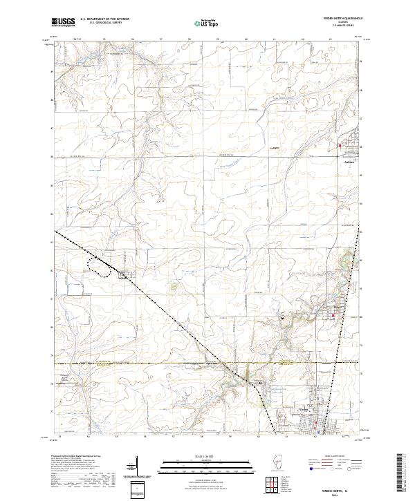
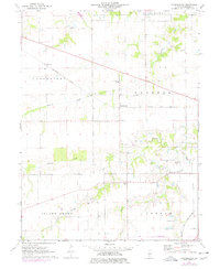
2024 Map of Virden North
USGS Topo · Published 2024About this map
The boundary between Sangamon Co and Macoupin Co bisects this agricultural region, where local life centers around several established communities along the northern Illinois prairie. Virden and Auburn sit at the southern and northern edges of the quadrangle respectively, connected by a network of rural routes and state highways like W State Rte 104. Smaller settlements such as Thayer, Lowder, and Compro are interspersed among a landscape carved by the tributaries of Sugar Creek and Panther Creek.
Find a feature on this map
88 named features on this map. Tap any name to fly to it.
Don’t see what you’re looking for? This feature index may not catch every label — zoom into the map to look around manually.
Map Details
Editions of this 2024 Virden North Map
This is the sole edition of this map. No revisions or reprints were ever made.
Historical Maps of Tower Heights Through Time
17 maps found
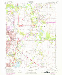
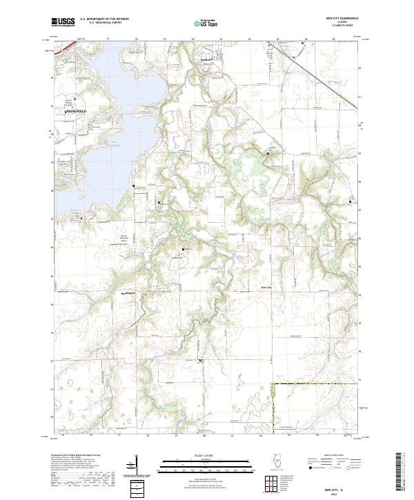
1950 Springfield East
Sangamon County, IL
1950 Springfield West
Sangamon County, IL
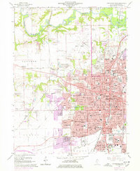
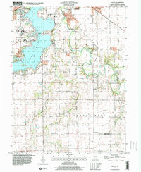
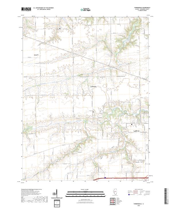
1961 New City
Sangamon County, IL
1965 Springfield East
Sangamon County, IL
1965 Springfield West
Sangamon County, IL
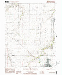
1971 Farmingdale
Sangamon County, IL
1976 Farmingdale
Sangamon County, IL
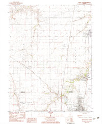
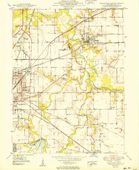
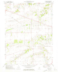
1983 Virden North
Sangamon County, IL
1998 New City
Sangamon County, IL
1998 Springfield East
Sangamon County, IL
1998 Springfield West
Sangamon County, IL
1998 Virden North
Sangamon County, IL
2024 Farmingdale
Sangamon County, IL
2024 New City
Sangamon County, IL
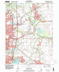
2024 Springfield East
Sangamon County, IL
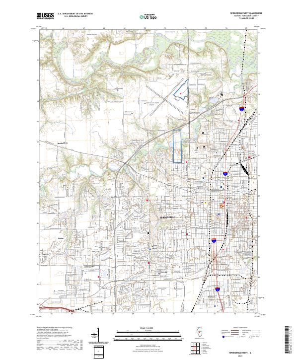
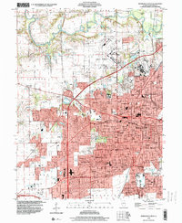
2024 Springfield West
Sangamon County, IL
2024 Virden North
Sangamon County, IL