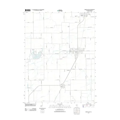
2012 Map of Virden South
USGS Topo · Published 2012About this map
Virden and Girard anchor this portion of northern Macoupin County, reflecting the agricultural and industrial character of central Illinois. The landscape is defined by the headwaters of the E Fork Otter Cr and the reservoir at Sunset Lake, which provides a distinct break in the surrounding grid of section-line roads. Traces of the region's mining history are evident in the naming of Crown Two Mine Rd near the eastern edge of the survey. Significant genealogical landmarks are scattered across the townships, including Pleasant Hill Cem and Union Chapel Cem. The transition from the rural village of Nilwood in the south toward the busier hubs to the north is connected by the corridor of Old Route 4, a primary artery through this prairie landscape. Smaller settlements like Greenridge remain as quiet points on the map, often centered around historic crossroads and local streams such as Hurricane Cr.
Find a feature on this map
99 named features on this map. Tap any name to fly to it.
Don’t see what you’re looking for? This feature index may not catch every label — zoom into the map to look around manually.
Map Details
Editions of this 2012 Virden South Map
This is the sole edition of this map. No revisions or reprints were ever made.
Other maps of this area

1922 · Divernon
USGS Topo · 1:62,500

1923 · Carlinville
USGS Topo · 1:48,000

1923 · Raymond
USGS Topo · 1:62,500

1924 · Divernon
USGS Topo · 1:62,500

1924 · Waverly
USGS Topo · 1:62,500

1925 · Carlinville
USGS Topo · 1:62,500

1925 · Raymond
USGS Topo · 1:62,500

1926 · Waverly
USGS Topo · 1:62,500

1931 · Carlinville
USGS Topo · 1:62,500

1958 · Decatur
USGS Topo · 1:250,000