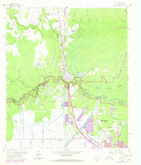
1960 Map of Voth
USGS Topo · Published 1978About this map
Pine Island Bayou meanders through the heart of this landscape, marking the boundary between Hardin and Jefferson counties as the northern fringes of Beaumont expand. The map reveals a transition from the industrial activity of the Ariola Oil Field and timber-rich lands near the Big Thicket National Preserve to residential developments like Rosedale Acres and Bor-ley Heights. Transport routes are anchored by the Southern Pacific and Atchison Topeka and Santa Fe railroads, which parallel the growth of settlements such as Loeb and Voth. Local community life is centered around institutions like the Chance-Loeb Sch and the Voth-Rosedale Sch. In the southeast, the Lower Neches Valley Authority Canal cuts through the terrain, supporting the region's complex water management and industrial needs near Helbig and Pine Crest.
Find a feature on this map
58 named features on this map. Tap any name to fly to it.
Don’t see what you’re looking for? This feature index may not catch every label — zoom into the map to look around manually.
Map Details
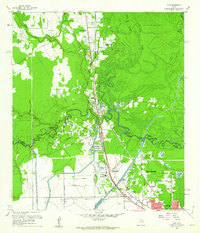
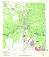
Editions of this 1960 Voth Map
3 editions found
Other maps of this area

1926 · Lakeview
USGS Topo · 1:24,000

1926 · Vidor
USGS Topo · 1:24,000

1932 · Beaumont
USGS Topo · 1:62,500

1943 · Beaumont East
USGS Topo · 1:24,000

1954 · Beaumont
USGS Topo · 1:250,000

1955 · Silsbee
USGS Topo · 1:62,500

1955 · Kountze
USGS Topo · 1:62,500

1955 · Sour Lake
USGS Topo · 1:62,500

1957 · Beaumont
USGS Topo · 1:250,000
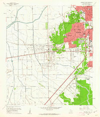
1960 · Beaumont West
USGS Topo · 1:24,000