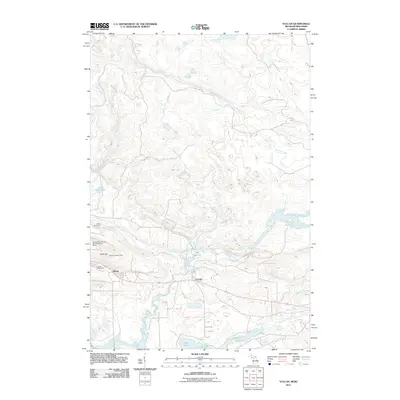
2011 Map of Vulcan
USGS Topo · Published 2011About this map
Vulcan and Loretto serve as the primary population centers in this pocket of Michigan’s Upper Peninsula, situated along a vital east-west transportation corridor. The Sturgeon River snakes through the southern landscape, fed by a network of tributaries including Pine Creek, Black Creek, and Cheney Creek. This river system is a defining geographic feature, punctuated by Power Dam Falls and surrounded by a cluster of water bodies such as Hamilton Lake, Mary Lake, and Louise Lake.
Find a feature on this map
20 named features on this map. Tap any name to fly to it.
Don’t see what you’re looking for? This feature index may not catch every label — zoom into the map to look around manually.
Map Details
Editions of this 2011 Vulcan Map
This is the sole edition of this map. No revisions or reprints were ever made.
Other maps of this area

1939 · Pembine
USGS Topo · 1:48,000

1947 · Pembine
USGS Topo · 1:48,000

1954 · Escanaba
USGS Topo · 1:250,000

1955 · Norway
USGS Topo · 1:24,000

1955 · Vulcan
USGS Topo · 1:24,000

1955 · Norway
USGS Topo · 1:62,500

1956 · Foster City
USGS Topo · 1:62,500

1957 · Escanaba
USGS Topo · 1:250,000

1958 · Escanaba
USGS Topo · 1:250,000

1963 · Pembine
USGS Topo · 1:62,500