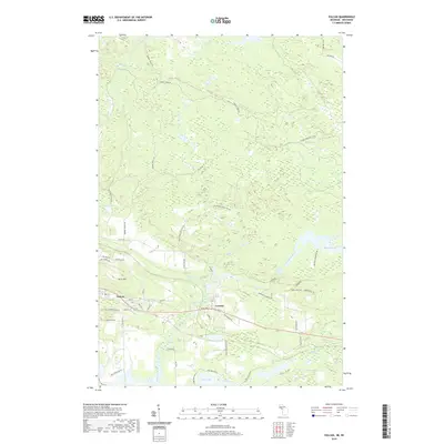
2019 Map of Vulcan
USGS Topo · Published 2019About this map
The Sturgeon River flows through the heart of this Dickinson County landscape, defining the character of the settlements at Vulcan and Loretto. This 2019 survey captures a region where the industrial legacy of the Upper Peninsula is reflected in its street names and local landmarks, such as Brickyard Rd and the prominent height of Brier Hill. The mapping of the local road network, including Swede Settlement Rd, speaks to the era of early logging and agricultural colonization that shaped these communities.
Find a feature on this map
59 named features on this map. Tap any name to fly to it.
Don’t see what you’re looking for? This feature index may not catch every label — zoom into the map to look around manually.
Map Details
Editions of this 2019 Vulcan Map
This is the sole edition of this map. No revisions or reprints were ever made.
Other maps of this area

1939 · Pembine
USGS Topo · 1:48,000

1947 · Pembine
USGS Topo · 1:48,000

1954 · Escanaba
USGS Topo · 1:250,000

1955 · Norway
USGS Topo · 1:24,000

1955 · Vulcan
USGS Topo · 1:24,000

1955 · Norway
USGS Topo · 1:62,500

1956 · Foster City
USGS Topo · 1:62,500

1957 · Escanaba
USGS Topo · 1:250,000

1958 · Escanaba
USGS Topo · 1:250,000

1963 · Pembine
USGS Topo · 1:62,500