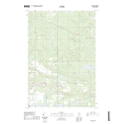
2023 Map of Vulcan
USGS Topo · Published 2023About this map
The Sturgeon River carves a central path through this Upper Peninsula landscape, where the settlements of Vulcan and Loretto sit along the primary east-west corridor. This 2023 survey illustrates a region defined by its hydrography and forestry infrastructure, with numerous creeks like Cassidy Creek, Pine Creek, and Black Creek feeding into the river system. The presence of Power Dam Falls on the Sturgeon River highlights the area's water-power potential, while the topographic rise of Brier Hill overlooks the community of Vulcan to the south.
Find a feature on this map
58 named features on this map. Tap any name to fly to it.
Don’t see what you’re looking for? This feature index may not catch every label — zoom into the map to look around manually.
Map Details
Editions of this 2023 Vulcan Map
This is the sole edition of this map. No revisions or reprints were ever made.
Other maps of this area

1939 · Pembine
USGS Topo · 1:48,000

1947 · Pembine
USGS Topo · 1:48,000

1954 · Escanaba
USGS Topo · 1:250,000

1955 · Norway
USGS Topo · 1:24,000

1955 · Vulcan
USGS Topo · 1:24,000

1955 · Norway
USGS Topo · 1:62,500

1956 · Foster City
USGS Topo · 1:62,500

1957 · Escanaba
USGS Topo · 1:250,000

1958 · Escanaba
USGS Topo · 1:250,000

1963 · Pembine
USGS Topo · 1:62,500