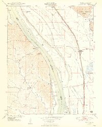
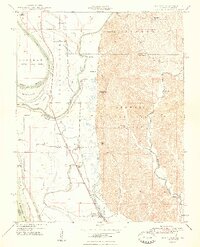
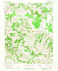
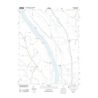
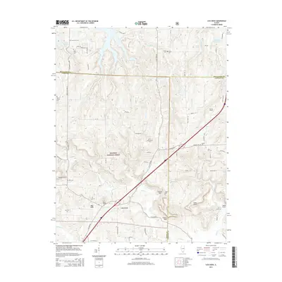
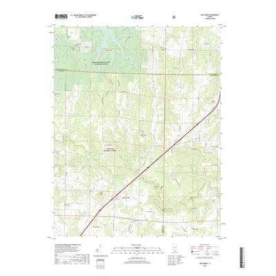
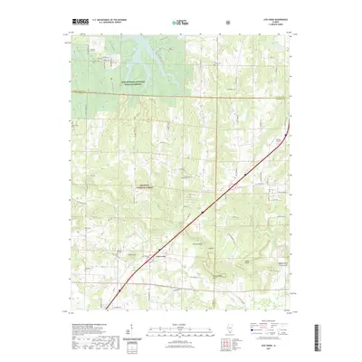
1958 Map of Wabash Island
USGS Topo · Published 1959About this map
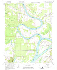
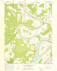
The Ohio River and Wabash River converge in this detailed 1950s survey, illustrating a complex aqueous landscape at the tri-state border of Illinois, Indiana, and Kentucky. The terrain is defined by a dense network of backwaters and drainage features, including Goose Pond Scatters, Hulda Lake, and numerous sloughs like Grinnet Slough and Yellowbank Slough. This hydrological complexity suggests a seasonally shifting environment where land and water frequently trade places, centered around the large landmass of Wabash Island.
Find a feature on this map
41 named features on this map. Tap any name to fly to it.
Don’t see what you’re looking for? This feature index may not catch every label — zoom into the map to look around manually.
Map Details
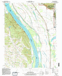
Editions of this 1958 Wabash Island Map
2 editions found
Historical Maps of Oak Grove Through Time
31 maps found
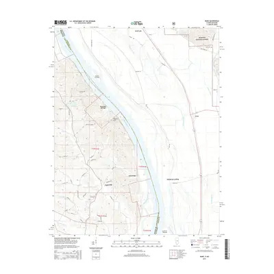
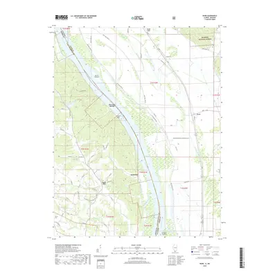
1947 Ware
Union County, IL
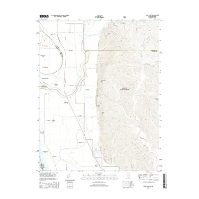
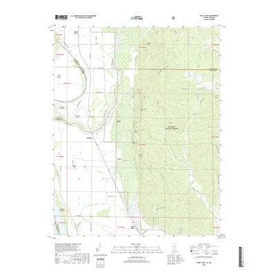
1947 Wolf Lake
Union County, IL
1948 Ware
Union County, IL
1948 Wolf Lake
Union County, IL
1953 Wabash Island
Union County, IL
1958 Wabash Island
Union County, IL
1966 Lick Creek
Union County, IL
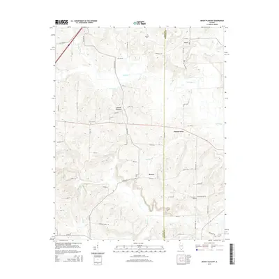
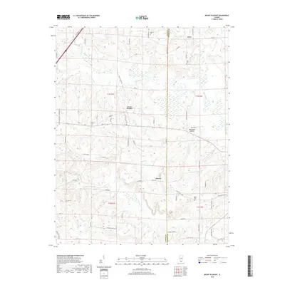
1966 Mt Pleasant
Union County, IL
1993 Ware
Union County, IL
1994 Wolf Lake
Union County, IL
1996 Lick Creek
Union County, IL
2012 Lick Creek
Union County, IL
2012 Mount Pleasant
Union County, IL
2012 Ware
Union County, IL
2012 Wolf Lake
Union County, IL
2015 Lick Creek
Union County, IL
2015 Mount Pleasant
Union County, IL
2015 Ware
Union County, IL
2015 Wolf Lake
Union County, IL
2018 Lick Creek
Union County, IL
2018 Mount Pleasant
Union County, IL
2018 Ware
Union County, IL
2018 Wolf Lake
Union County, IL
2021 Lick Creek
Union County, IL
2021 Mount Pleasant
Union County, IL
2021 Ware
Union County, IL
2021 Wolf Lake
Union County, IL
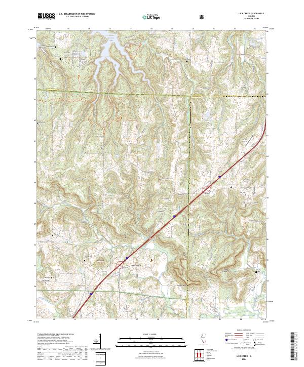
2024 Lick Creek
Union County, IL
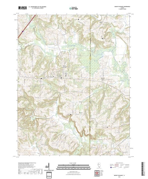
2024 Mount Pleasant
Union County, IL
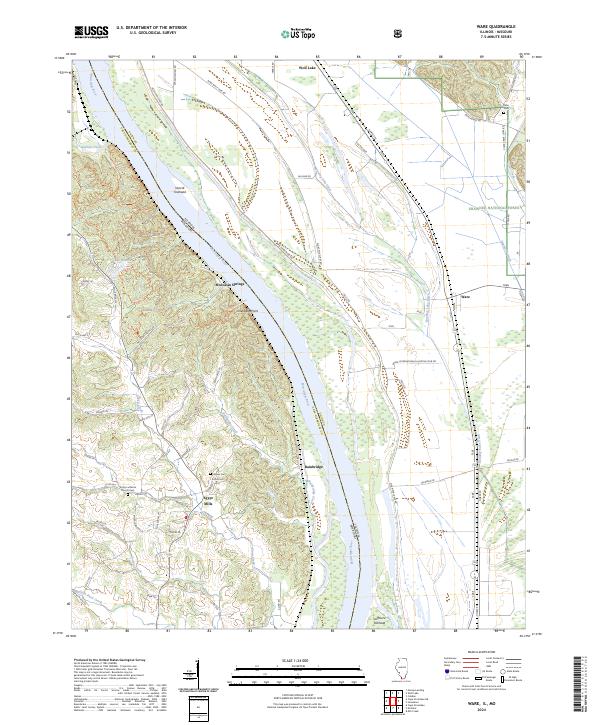
2024 Ware
Union County, IL
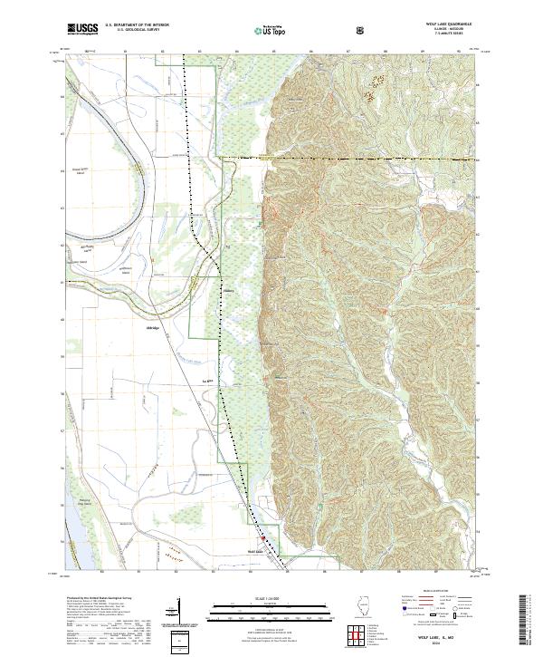
2024 Wolf Lake
Union County, IL