
1967 Map of Wabasso SE
USGS Topo · Published 1968About this map
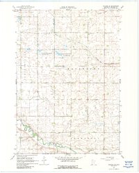
Cottonwood River meanders across the southern portion of this landscape, marking the transition between the townships of North Hero and Lamberton. The terrain is defined by its drainage patterns, with Sleepy Eye Creek and Pell Creek feeding into the larger river system, while Judicial Ditch No 36 illustrates the mid-century agricultural modifications made to the local wetlands.
Find a feature on this map
17 named features on this map. Tap any name to fly to it.
Don’t see what you’re looking for? This feature index may not catch every label — zoom into the map to look around manually.
Map Details
Editions of this 1967 Wabasso SE Map
2 editions found
Other maps of this area

1953 · New Ulm
USGS Topo · 1:250,000

1957 · New Ulm
USGS Topo · 1:250,000

1958 · New Ulm
USGS Topo · 1:250,000

1967 · New Ulm
USGS Topo · 1:250,000

1967 · Wanda
USGS Topo · 1:24,000

1967 · Sanborn
USGS Topo · 1:24,000

1967 · Wabasso
USGS Topo · 1:24,000

1967 · Walnut Grove
USGS Topo · 1:24,000

1967 · Rowena
USGS Topo · 1:24,000
1967 · Lucan
USGS Topo · 1:24,000