
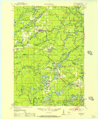
1951 Map of Wabeno
USGS Topo · Published 1953About this map
Wabeno and the neighboring mill town of Soperton serve as the primary hubs in this timber-rich portion of the Nicolet National Forest during the early 1950s. The region's economy and settlement patterns are dictated by the Chicago and North Western railway, which connects isolated outposts like Padus with larger logging and recreation centers. The map reveals a community-focused landscape, marked by local institutions such as the Indian Community Hall and the Rummel Sch, alongside family burial grounds like Roseland Cem and Lakeside Cem.
Find a feature on this map
106 named features on this map. Tap any name to fly to it.
Don’t see what you’re looking for? This feature index may not catch every label — zoom into the map to look around manually.
Map Details
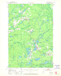
Editions of this 1951 Wabeno Map
3 editions found
Other maps of this area

1939 · Crandon
USGS Topo · 1:48,000

1939 · Goodman
USGS Topo · 1:48,000

1939 · Laona
USGS Topo · 1:48,000

1940 · Thunder Mtn.
USGS Topo · 1:48,000

1941 · Crandon
USGS Topo · 1:48,000

1942 · Breed
USGS Topo · 1:48,000

1942 · Wabeno
USGS Topo · 1:48,000

1942 · Pearson
USGS Topo · 1:48,000

1946 · Laona
USGS Topo · 1:48,000

1946 · Goodman
USGS Topo · 1:48,000