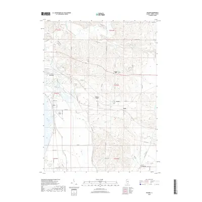
2018 Map of Wacker
USGS Topo · Published 2018About this map
The Plum River and Carroll Creek valley defines this section of Carroll County, where the bluff-lined landscape transitions into the Mississippi River floodplains. The city of Savanna occupies the western edge of the sheet, situated near the expansive Spring Lake and the recreational corridor of the Great River Trail. This area is characterized by a high concentration of named rural crossroads and hamlets, including Wacker, Hickory Grove, and Argo Fay.
Find a feature on this map
63 named features on this map. Tap any name to fly to it.
Don’t see what you’re looking for? This feature index may not catch every label — zoom into the map to look around manually.
Map Details
Editions of this 2018 Wacker Map
This is the sole edition of this map. No revisions or reprints were ever made.
Other maps of this area

1891 · Clinton
USGS Topo · 1:62,500

1892 · Savanna
USGS Topo · 1:62,500

1894 · Clinton
USGS Topo · 1:62,500

1899 · Clinton
USGS Topo · 1:125,000

1934 · Morrison
USGS Topo · 1:48,000

1940 · Morrison
USGS Topo · 1:62,500

1942 · Mt Carroll
USGS Topo · 1:62,500

1944 · Mt Carroll
USGS Topo · 1:62,500

1952 · Clinton
USGS Topo · 1:62,500

1952 · Savanna
USGS Topo · 1:62,500