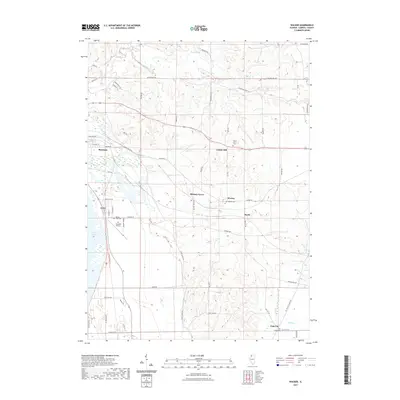
2021 Map of Wacker
USGS Topo · Published 2021About this map
Savanna and its surrounding hamlets sit amidst a landscape shaped by the winding Plum River and Carroll Creek in this 2021 survey of Carroll County. The map details a transition from the structured street grid of Savanna's eastern edge to the sprawling agricultural tracts and natural basins of the Spring Lake area. Rural life is anchored by small settlements like Hickory Grove, Burke, and Argo Fay, each connected by a dense network of local roads such as Scenic Bluff Rd and Wacker Rd. Genealogical interest is found in the scattered community burial grounds, including Center Hill Cem, Wacker Cem, and Argo Cem. The modern infrastructure of the Tri-Township Airport contrasts with the recreational path of the Great River Trl, illustrating the varied land use across this river-valley region.
Find a feature on this map
62 named features on this map. Tap any name to fly to it.
Don’t see what you’re looking for? This feature index may not catch every label — zoom into the map to look around manually.
Map Details
Editions of this 2021 Wacker Map
This is the sole edition of this map. No revisions or reprints were ever made.
Other maps of this area

1891 · Clinton
USGS Topo · 1:62,500

1892 · Savanna
USGS Topo · 1:62,500

1894 · Clinton
USGS Topo · 1:62,500

1899 · Clinton
USGS Topo · 1:125,000

1934 · Morrison
USGS Topo · 1:48,000

1940 · Morrison
USGS Topo · 1:62,500

1942 · Mt Carroll
USGS Topo · 1:62,500

1944 · Mt Carroll
USGS Topo · 1:62,500

1952 · Clinton
USGS Topo · 1:62,500

1952 · Savanna
USGS Topo · 1:62,500