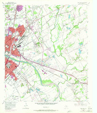
1957 Map of Waco East
USGS Topo · Published 1971About this map
The Brazos River divides the industrial and academic heart of Waco from its eastern expansions in this mid-century topographic record. Dominating the western bank is Baylor University, adjacent to the extensive grounds of Oakwood Cemetery and Restland Cemetery. The map captures a period of significant urban growth, with purple-tinted revisions from 1970 showing the outward sprawl of Bellmead and Lacy-Lakeview to the north. A dense network of rail lines, including the Missouri Pacific RR and Southern Pacific RR, converges near the Warden Locomotive Shop, reflecting the era's heavy industrial reliance on rail transport. To the east, the landscape transitions into a complex drainage system of Tehuacana Creek and Tradinghouse Creek, interspersed with numerous gravel pits that underscore the local extractive industry during the city's postwar development.
Find a feature on this map
63 named features on this map. Tap any name to fly to it.
Don’t see what you’re looking for? This feature index may not catch every label — zoom into the map to look around manually.
Map Details
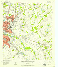
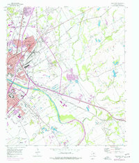
Editions of this 1957 Waco East Map
3 editions found
Other maps of this area

1892 · Temple
USGS Topo · 1:125,000

1892 · Waco
USGS Topo · 1:125,000

1920 · Waco
USGS Topo · 1:125,000

1920 · Mart
USGS Topo · 1:62,500

1924 · Waco 4-c
USGS Topo · 1:48,000

1931 · Elm Mott
USGS Topo · 1:62,500

1954 · Waco
USGS Topo · 1:250,000

1955 · Waco
USGS Topo · 1:250,000

1956 · Axtell
USGS Topo · 1:24,000
1957 · Gholson
USGS Topo · 1:24,000