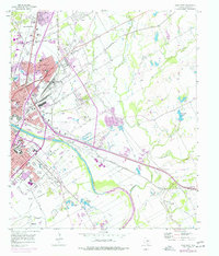
1957 Map of Waco East
USGS Topo · Published 1977About this map
The Brazos River serves as the central artery for this 1957 landscape, dividing the urban expansion of Waco from the industrial and rail-heavy eastern districts. This era shows a city in transition, where institutional anchors like Baylor University and Paul Quinn College sit adjacent to bustling rail corridors. The presence of the St Louis Southwestern, Missouri Pacific, and Southern Pacific lines underscores the region's importance as a Texas transportation hub.
Find a feature on this map
65 named features on this map. Tap any name to fly to it.
Don’t see what you’re looking for? This feature index may not catch every label — zoom into the map to look around manually.
Map Details
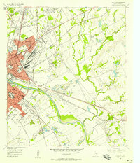
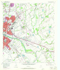
Editions of this 1957 Waco East Map
3 editions found
Other maps of this area

1892 · Temple
USGS Topo · 1:125,000

1892 · Waco
USGS Topo · 1:125,000

1920 · Waco
USGS Topo · 1:125,000

1920 · Mart
USGS Topo · 1:62,500

1924 · Waco 4-c
USGS Topo · 1:48,000

1931 · Elm Mott
USGS Topo · 1:62,500

1954 · Waco
USGS Topo · 1:250,000

1955 · Waco
USGS Topo · 1:250,000

1956 · Axtell
USGS Topo · 1:24,000
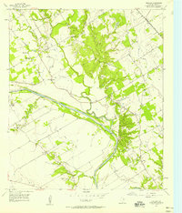
1957 · Gholson
USGS Topo · 1:24,000