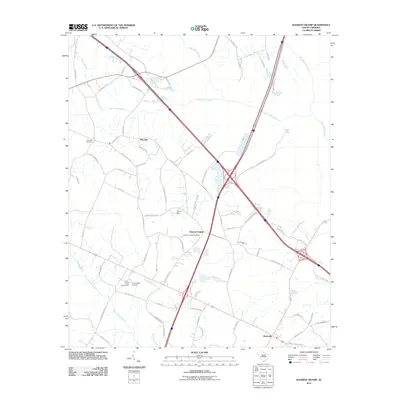
2011 Map of Wadboo Swamp
USGS Topo · Published 2011About this map
Four Hole Swamp and Cow Castle Creek define the low-lying drainage patterns of this Dorchester County landscape, which remains largely rural and defined by its historic community landmarks. The settlement at Duncan Chapel serves as a central point, supported by the nearby Duncan Chapel Cemetery and Ebenezer Cemetery, which offer valuable locations for genealogical research. The presence of the Shady Grove Campground and the adjacent Campmeeting Grounds suggests a long-standing tradition of communal gatherings and religious heritage in the area.
Find a feature on this map
76 named features on this map. Tap any name to fly to it.
Don’t see what you’re looking for? This feature index may not catch every label — zoom into the map to look around manually.
Map Details
Editions of this 2011 Wadboo Swamp Map
This is the sole edition of this map. No revisions or reprints were ever made.
Other maps of this area

1919 · Ridgeville
USGS Topo · 1:48,000

1920 · Eutawville
USGS Topo · 1:48,000

1920 · Bowman
USGS Topo · 1:48,000

1920 · Ridgeville
USGS Topo · 1:62,500

1920 · St. George
USGS Topo · 1:48,000

1921 · Bowman
USGS Topo · 1:62,500

1921 · St. George
USGS Topo · 1:62,500

1921 · Eutawville
USGS Topo · 1:62,500

1943 · Bowman
USGS Topo · 1:62,500

1943 · Orangeburg
USGS Topo · 1:125,000