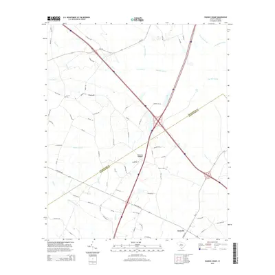
2014 Map of Wadboo Swamp
USGS Topo · Published 2014About this map
Wadboo Swamp and Indian Field Swamp dominate this corner of the South Carolina Lowcountry, where the landscape is defined by the slow drainage of the Atlantic Coastal Plain. The map documents a rural transition zone along the border of Orangeburg and Dorchester counties, anchored by the crossroads communities of Whetsell and Duncan Chapel. This area is characterized by a dense network of secondary roads and family-named landmarks that hint at long-standing land divisions and local lineages. Historically significant sites such as the Ebenezer Cem and Duncan Chapel Cem are clearly marked, providing critical points of reference for genealogists. The modern infrastructure of Interstate 26 and I-95 intersect nearby, cutting through the older patterns of settlement and natural watercourses like Four Hole Swamp and Cow Castle Cr.
Find a feature on this map
65 named features on this map. Tap any name to fly to it.
Don’t see what you’re looking for? This feature index may not catch every label — zoom into the map to look around manually.
Map Details
Editions of this 2014 Wadboo Swamp Map
This is the sole edition of this map. No revisions or reprints were ever made.
Other maps of this area

1919 · Ridgeville
USGS Topo · 1:48,000

1920 · Eutawville
USGS Topo · 1:48,000

1920 · Bowman
USGS Topo · 1:48,000

1920 · Ridgeville
USGS Topo · 1:62,500

1920 · St. George
USGS Topo · 1:48,000

1921 · Bowman
USGS Topo · 1:62,500

1921 · St. George
USGS Topo · 1:62,500

1921 · Eutawville
USGS Topo · 1:62,500

1943 · Bowman
USGS Topo · 1:62,500

1943 · Orangeburg
USGS Topo · 1:125,000