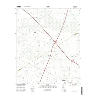
2017 Map of Wadboo Swamp
USGS Topo · Published 2017About this map
Wadboo Swamp and the dense network of tributaries including Cow Castle Cr and Four Hole Swamp dominate this Dorchester County landscape. The map captures a primarily rural environment defined by these vast wetlands, which are intersected by the modern transit corridor of Interstate 26. Small settlements like Whetsell and Rosinville serve as local anchors, while the land is crisscrossed by roads with local significance, such as Old School Rd and Ditch Bank Rd.
Find a feature on this map
84 named features on this map. Tap any name to fly to it.
Don’t see what you’re looking for? This feature index may not catch every label — zoom into the map to look around manually.
Map Details
Editions of this 2017 Wadboo Swamp Map
This is the sole edition of this map. No revisions or reprints were ever made.
Other maps of this area

1919 · Ridgeville
USGS Topo · 1:48,000

1920 · Eutawville
USGS Topo · 1:48,000

1920 · Bowman
USGS Topo · 1:48,000

1920 · Ridgeville
USGS Topo · 1:62,500

1920 · St. George
USGS Topo · 1:48,000

1921 · Bowman
USGS Topo · 1:62,500

1921 · St. George
USGS Topo · 1:62,500

1921 · Eutawville
USGS Topo · 1:62,500

1943 · Bowman
USGS Topo · 1:62,500

1943 · Orangeburg
USGS Topo · 1:125,000