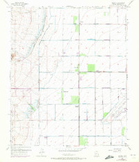
1957 Map of Waddell
USGS Topo · Published 1972About this map
Waddell and the surrounding agricultural landscape of Maricopa County are defined here by a systematic grid of irrigation and transport infrastructure. The Beardsley Canal runs north-to-south, paralleled by a Detention Basin designed to manage runoff from the White Tank Mts to the west. This water management system supported the citrus groves and farmstead life of the mid-20th century, centered on small junctions like Fennemore, Wayne, and Citrus Park.
Find a feature on this map
25 named features on this map. Tap any name to fly to it.
Don’t see what you’re looking for? This feature index may not catch every label — zoom into the map to look around manually.
Map Details
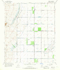
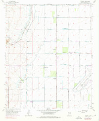
Editions of this 1957 Waddell Map
4 editions found

Other maps of this area

1946 · Avondale
USGS Topo · 1:62,500

1948 · Cashion
USGS Topo · 1:62,500

1954 · Phoenix
USGS Topo · 1:250,000

1957 · Phoenix
USGS Topo · 1:250,000

1957 · White Tank Mts. SE
USGS Topo · 1:24,000

1957 · Valencia
USGS Topo · 1:24,000

1957 · Perryville
USGS Topo · 1:24,000

1957 · White Tank Mts. NE
USGS Topo · 1:24,000

1957 · Calderwood Butte
USGS Topo · 1:24,000

1957 · McMicken Dam
USGS Topo · 1:24,000