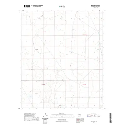
2020 Map of Wade Ranch
USGS Topo · Published 2020About this map
Wade Ranch anchors the northwestern corner of this Chaves County landscape, situated along Aleut Rd. The terrain is defined by an intricate network of ephemeral water systems, including the southward-reaching Sand Draw and the more defined Long Arroyo, which branches into the E Fork Long Arroyo to the east. These seasonal drainage patterns are vital to the area's pastoral utility, as evidenced by several catchment features such as Mesquite Tank and Camps Tank. To the south, the dry basin of Cockle Burr Lake and the nearby East Lake mark the lowest points of the local topography. This map documents a sparsely populated ranching environment where life is centered on water management and the few local thoroughfares like Co Rd 54 and Co Rd 98.
Find a feature on this map
15 named features on this map. Tap any name to fly to it.
Don’t see what you’re looking for? This feature index may not catch every label — zoom into the map to look around manually.
Map Details
Editions of this 2020 Wade Ranch Map
This is the sole edition of this map. No revisions or reprints were ever made.
Other maps of this area

1949 · Sardine Mountain
USGS Topo · 1:24,000

1949 · Wade Ranch
USGS Topo · 1:24,000

1949 · Malstrom Ranch
USGS Topo · 1:24,000

1949 · L-E Ranch
USGS Topo · 1:24,000

1950 · Comanche Spring
USGS Topo · 1:24,000

1950 · Bottomless Lakes
USGS Topo · 1:24,000

1950 · Dexter East
USGS Topo · 1:24,000

1952 · Connor Well
USGS Topo · 1:24,000

1952 · Bar C Bar Ranch
USGS Topo · 1:24,000

1955 · Roswell
USGS Topo · 1:250,000