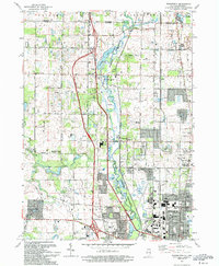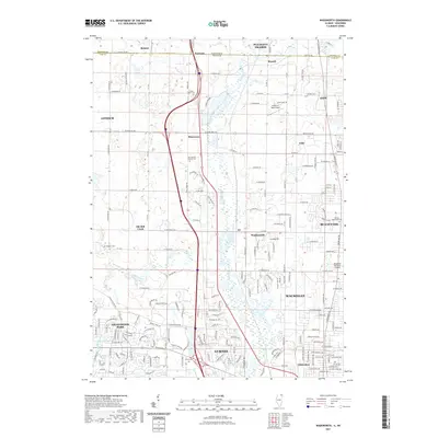
1960 Map of Wadsworth
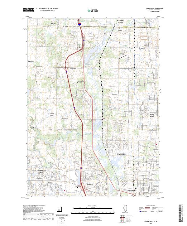
USGS Topo · Published 1973About this map
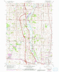
The Des Plaines River corridor serves as the primary geographic anchor for this region along the Illinois-Wisconsin border during a period of significant infrastructure development. The emergence of the Tri-State Tollway, complete with its prominent Tollgate, bisects the landscape, illustrating the transition from rural townships like Newport and Warren toward modern suburban connectivity. Despite this rapid change, the map preserves the locations of established crossroads and community centers such as Old Mill Creek, Lambs Corners, and Dillys Corners.
Find a feature on this map
57 named features on this map. Tap any name to fly to it.
Don’t see what you’re looking for? This feature index may not catch every label — zoom into the map to look around manually.
Map Details
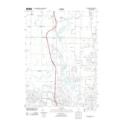
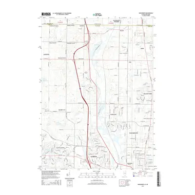
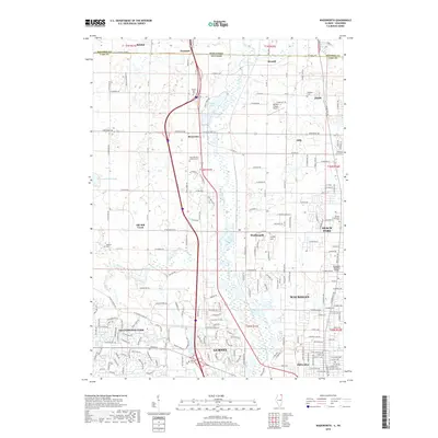
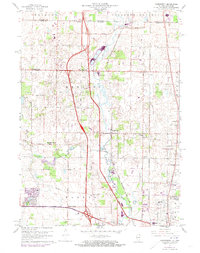
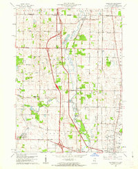
Editions of this 1960 Wadsworth Map
3 editions found
Historical Maps of Waukegan Through Time
7 maps found